Two German tourists set off for a bucket-list drive to the tip of Australia. A few taps on Google Maps sent them down what looked like a quicker route. A week later, sunburnt and exhausted, they walked out of crocodile country after their 4WD sank into a closed track in one of the most remote places on Earth.
A wrong turn into a closed park
Philipp Maier and Marcel Schoene left Cairns for Bamaga, the small town near the northern tip of Queensland, aiming to follow the Peninsula Development Road, the lifeline for Cape York. Near the settlement of Coen, their phone map suggested a turnoff that seemed legitimate on screen. Trusting the app, they left the main road and headed inland.
The track led into Oyala Thumotang National Park, which had been closed to the public for the wet season from December 1, 2023, to June 30, 2024. The pair said they didn’t know. After roughly 30 to 37 miles on a deserted dirt track, recent rain turned the ground to glue. Their four-wheel drive bogged so deep it wasn’t going anywhere. There was no phone service, no passing traffic, and no clear way back.
Cape York is vast—bigger than Great Britain—with only about 18,000 people. Once you leave the highway, you can go days without seeing another car. They camped in the vehicle and tried to rig a shelter. It didn’t work. Storms rolled through. Heat built up again. Mud dried into ruts that still trapped the wheels. The rainforest hummed with life—and things that can kill you.
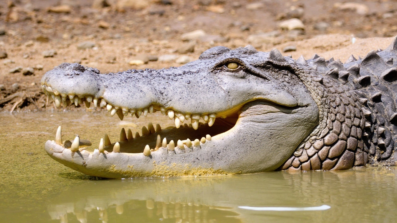
After days stuck, the two men made the call to walk. It wasn’t a casual choice. The country around them holds snakes and spiders, thorny scrub, and rivers where crocodiles wait under the surface. They tracked the rough line of the track, watched the sky for storms, and rationed supplies. At one crossing, they had to find a way around crocodile-infested water rather than risk it straight on.
Queensland Parks and Wildlife ranger Roger James summed up how close this came to disaster. They followed a dry gully until it ran out, he said, then stayed with the vehicle as long as they dared before committing to the walk out. In the outback, abandoning your car is a last resort. It’s shelter, it’s shade, and it’s easier for rescuers to spot. But sometimes, walking is the only option left.
After a trek that stretched beyond a week in punishing conditions—heat, storms, insects, and the constant mental load of watching every step—they reached safety. No dramatic airlift. No cinematic rescue. Just two tired travelers who refused to panic, made tough choices, and kept moving.
Only then did the tech company at the center of the story step in. Google removed the faulty route and said it uses a mix of third-party data, imagery, and user feedback to update its maps. In other words: the system learns, but not fast enough for the last two people it misled.
Seasonal closures like the one at Oyala Thumotang are standard across northern Australia. During the wet season, roads flood, creek beds turn into rivers, and tracks tear up under even a single vehicle. Parks shut to protect people, landscapes, and cultural sites. Those closures can extend well into the dry season while crews assess damage and repair roads. A route that looks solid on a screen may be a boggy trap on the ground.
The Peninsula Development Road itself is rugged even in good weather—corrugations, washouts, roaming cattle, and long gaps with no services. Travelers heading north usually stock up at roadhouses, ask about road conditions, and carry spares. Locals know that the difference between a memorable trip and a survival story often comes down to planning and a bit of luck.
Why mapping goes wrong—and how to travel safer in remote areas
Digital maps feel instant and authoritative. But a clean blue line hides a messy reality: private tracks that look public, seasonal gates across what seems like a road, and new closures that haven’t hit the database yet. Routing software tries to choose the fastest option. In remote areas with little data, it can over-trust a thin, dashed line that was once a passable track.
Google says it blends satellite imagery, road authority feeds, partner data, and user reports. That patchwork is powerful in cities. Far from cities, the inputs are sparse and delay-prone. Tracks change after storms. Rivers carve new channels. A ranger can close a park in the morning, and the sign on the gate will be more accurate than any app that afternoon.
This isn’t the first time navigation software has pushed people into danger. In 2022, a driver in North Carolina, Philip Paxson, died after reportedly following directions over a bridge that had collapsed years earlier. His family sued Google. A decade earlier, police in Mildura, Australia, warned that Apple Maps had placed the town in the wrong spot, sending drivers into a sun-baked national park with no water. The fixes came—after the headlines.
So what should travelers heading into remote Australia actually do? A few habits cut risk fast:
- Check park alerts and road conditions before leaving the last major town. Seasonal closures in northern Australia are common and can change week to week.
- Download offline maps from more than one source. Cross-check routes—if two apps disagree, ask why.
- Carry a satellite communicator or PLB/EPIRB if you’re going beyond phone range. It turns a search into a rescue.
- Tell someone your route and check-in time. A missed call can trigger help faster than a lucky encounter on a deserted track.
- Respect local signs over any app. If a gate says closed, it’s closed—no matter what your phone thinks.
- In crocodile country, avoid crossing murky or deep water on foot. Find an alternate line or wait it out.
There’s a broader lesson here about trust. We tend to believe clean interfaces and precise arrival times. But in places like Cape York, knowledge lives in roadhouses, ranger stations, and the experience of people who’ve driven that road a hundred times. The map in your hand is a guide, not a guarantee.
Maier and Schoene’s week in the bush will read like a travel horror story to anyone planning a trip north this dry season. It could also be the nudge to plan better. They did a lot right when it counted—staying with the car at first, then moving only when they had to, staying alert to the realities of the landscape. The route that trapped them is gone from the app now. The risks that made it dangerous are not.
Write a comment